Method · Europe
Europe map quiz: learn to place every country in Europe
Published on
Europe has 45 countries in Blopi World, from vast Russia to tiny Vatican City. The quickest way to learn where they are is to play: a country name appears, you find it on the map, and every country you miss comes back a little later until it sticks. The map quiz is right below, free and with no sign-up. After that: the list of countries by region, a five-step method and the traps everyone falls into.
The quiz: place the countries of Europe on the map
Europe is already selected: start the game, tap the country asked for, then confirm. You have three hearts for the whole game. After each mistake, the right country lights up in gold and the map zooms in on it; the question comes back two countries later. Zoom with the buttons, the mouse wheel or by pinching the screen to reach the smallest ones.
How many countries are there in Europe?
Blopi World counts 45 countries in Europe: the UN member states located on the continent, plus Vatican City. Elsewhere you will see 44, 46 or even 50: it all depends on how Kosovo (not a UN member), Cyprus (an island closer to Asia but a member of the European Union) and the countries spanning two continents are counted. Turkey, Georgia, Armenia, Azerbaijan and Kazakhstan are placed in Asia here, where most of their land lies.
Don’t mix up Europe and the European Union: the EU has 27 members, while Norway, Switzerland, the United Kingdom, Ukraine and Serbia, for example, are European countries outside it.
Here are the 45 countries, sorted into the four UN regions, with their capitals:
| Country | Capital |
|---|---|
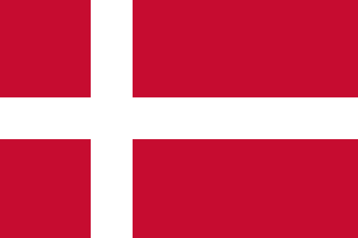 Denmark | Copenhagen |
 Estonia | Tallinn |
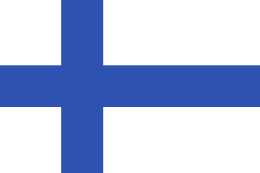 Finland | Helsinki |
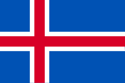 Iceland | Reykjavík |
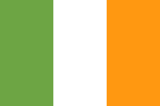 Ireland | Dublin |
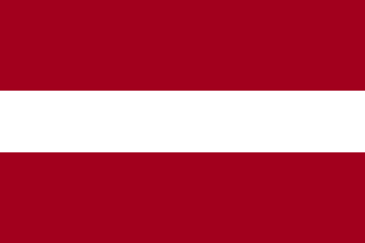 Latvia | Riga |
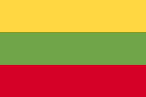 Lithuania | Vilnius |
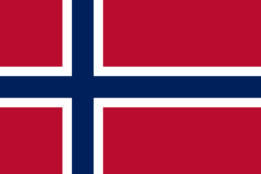 Norway | Oslo |
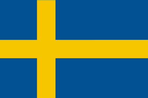 Sweden | Stockholm |
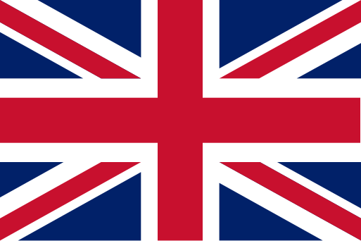 United Kingdom | London |
| Country | Capital |
|---|---|
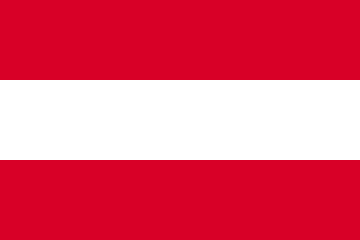 Austria | Vienna |
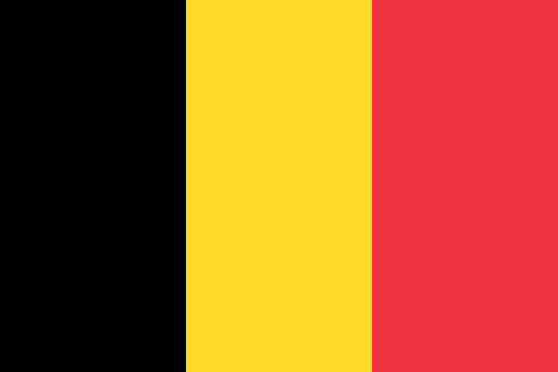 Belgium | Brussels |
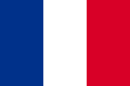 France | Paris |
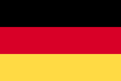 Germany | Berlin |
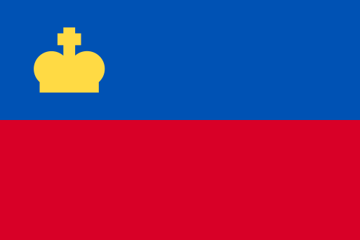 Liechtenstein | Vaduz |
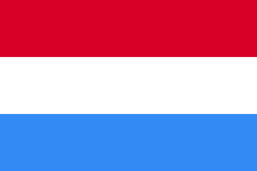 Luxembourg | Luxembourg |
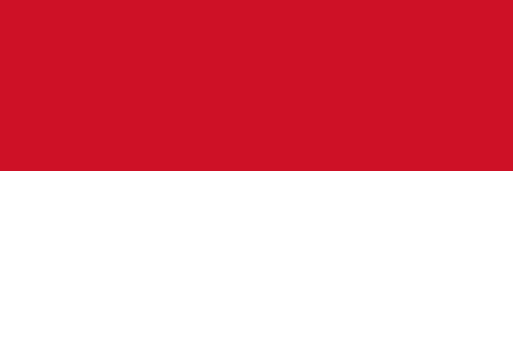 Monaco | Monaco |
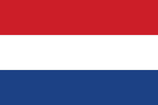 Netherlands | Amsterdam |
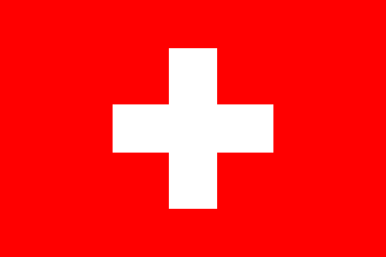 Switzerland | Bern |
| Country | Capital |
|---|---|
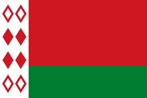 Belarus | Minsk |
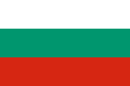 Bulgaria | Sofia |
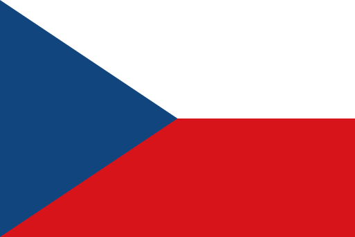 Czechia | Prague |
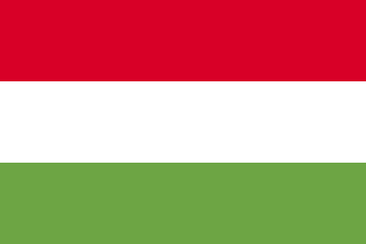 Hungary | Budapest |
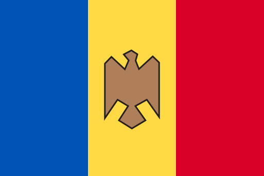 Moldova | Chișinău |
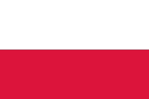 Poland | Warsaw |
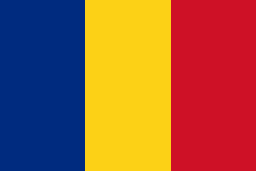 Romania | Bucharest |
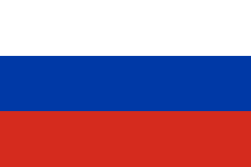 Russia | Moscow |
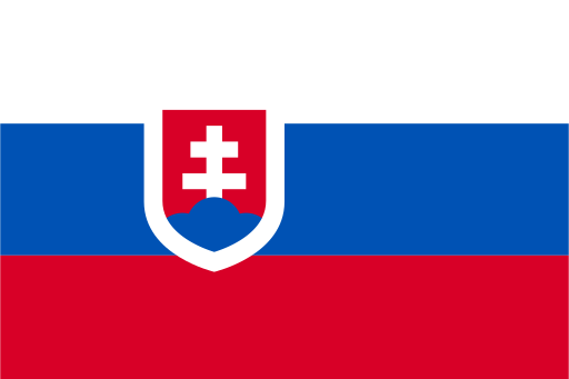 Slovakia | Bratislava |
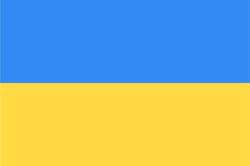 Ukraine | Kyiv |
| Country | Capital |
|---|---|
 Albania | Tirana |
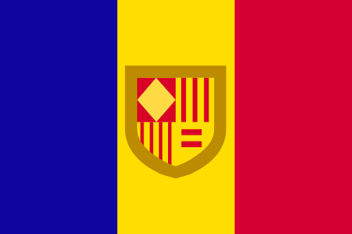 Andorra | Andorra la Vella |
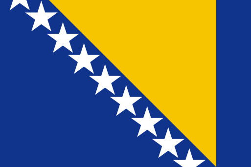 Bosnia and Herzegovina | Sarajevo |
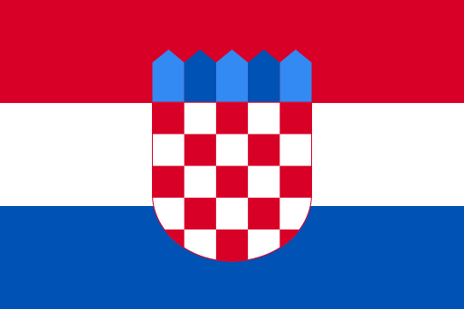 Croatia | Zagreb |
 Cyprus | Nicosia |
 Greece | Athens |
 Italy | Rome |
 Malta | Valletta |
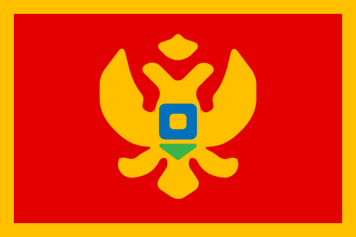 Montenegro | Podgorica |
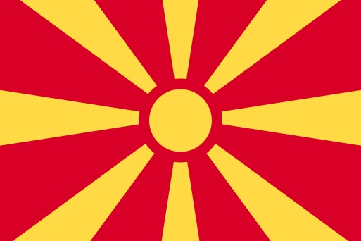 North Macedonia | Skopje |
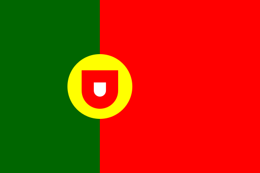 Portugal | Lisbon |
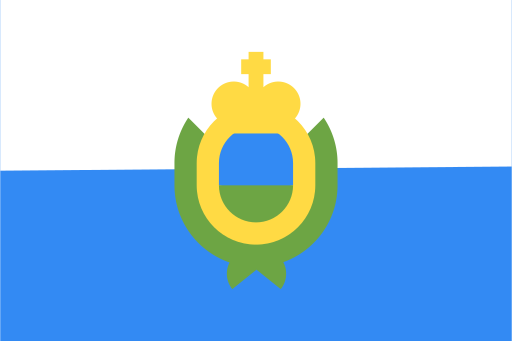 San Marino | City of San Marino |
 Serbia | Belgrade |
 Slovenia | Ljubljana |
 Spain | Madrid |
 Vatican City | Vatican City |
How to learn the countries of Europe: the 5-step method
- Start with the big countries as landmarks. France, Spain, Germany, Italy, Poland, Ukraine: once these shapes are in your head, every smaller country falls into place around them.
- Work on one region at a time. The North and the West first, usually more familiar, then the East, and finally the South with the Balkans, the busiest part of the map.
- Learn countries by their neighbours. Moldova is squeezed between Romania and Ukraine; Belarus sits between Poland, the Baltic states, Russia and Ukraine. A border is easier to remember than a lone position.
- Replay your mistakes. Testing yourself builds memory better than rereading a map. That is why the quiz asks every missed country again a little later in the game: you see it again just as you were about to forget it.
- Finish with the full series. When a region goes by without a mistake, tick the others and aim for all 45 countries at once. The timer and your best score will show your progress.
The classic traps on the map of Europe
Slovakia or Slovenia?
The names are alike, the places are not. Slovenia borders Italy and has a short Adriatic coast, just above Croatia. Slovakia is further north, below Poland, between Czechia and Ukraine.
Estonia, Latvia, Lithuania
Tip: the three Baltic states are in alphabetical order from north to south. Estonia at the top,Latvia in the middle, Lithuania at the bottom, next to Poland.
The Balkans
Start from the Adriatic coast and work your way down: Slovenia, Croatia, Bosnia and Herzegovina (almost wrapped by Croatia), Montenegro, Albania. Inland, Serbia, then North Macedonia to the south. Bulgaria and Greece close off the peninsula on the Black Sea and the Aegean Sea.
The microstates
Six countries are so small you need a magnifying glass: Vatican City and San Marino, both surrounded by Italy, Monaco on the French coast, Andorra between France and Spain, Liechtenstein between Switzerland and Austria, and the island of Malta south of Sicily. On the game map, the smallest ones are dots that are easy to tap: zoom in to spot them.
The forgotten islands
Iceland, Ireland, the United Kingdom, Malta and Cyprus are islands: only the border between Ireland and Northern Ireland (United Kingdom) links them to a neighbour by land. Cyprus, far to the east of the Mediterranean, is the one people forget most often.
Going further: flags and capitals of Europe
Once you know the map, link each country to its flag and its capital: three ways to revisit the same country, and each one helps you remember the other two. Pick Europe in the settings of our other free games:
- Flags of the world quiz, with all 195 flags by continent;
- World capitals quiz, multiple choice or on the map;
- World map quiz, to move on to the other continents.
Frequently asked questions
How many countries are there in Europe?
Blopi World counts 45 countries in Europe: the UN member states located in Europe, plus Vatican City. The number varies between sources depending on how Kosovo, Cyprus or Turkey are counted.
What is the smallest country in Europe?
Vatican City, at about 0.44 km² (0.17 sq mi): it is also the smallest country in the world. Monaco, San Marino and Liechtenstein come next.
Is Turkey part of Europe?
Turkey spans two continents, but most of its land is in Asia. Blopi World therefore places it in Asia, like Georgia, Armenia, Azerbaijan and Kazakhstan.
Is the Europe map quiz free?
Yes. You can play it here for free, without signing up, on a computer or a phone, and your best score is saved for each series.